Walking in San Francisco
I had this same thought the last time I was here, but I feel it could be fruitful. Sometimes there is a route someolace that is “shorter,” laterally, but there are tons of up and down hills between. So is that way really shorter? I feel like you can do something with this: use the Pythagorean theorem to determine how far you are actually walking, determine different walking speeds on different inclines, and then get a topographical map and determine the speed and length of different routes, then check what Google Maps says.
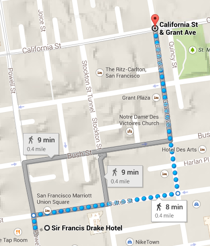
For an example of what I just experienced: because we didn’t really know where we were going, we wound up walking up the giant hill up Powell St and then down the hill on California St, but if we had gone down Sutter first and then up Grant, it would have been much flatter.